
The Maamturks Challenge is an annual linear hiking event organised by NUI Galway Mountaineering Club. The route is a tough 25 km hike with 2300 metres of ascent that traverses the Maamturks Mountain range in Connemara.
The official event is held in the Spring of every year, with those participants who successfully complete the course, by reaching specified control points within the given cut-off times, receiving a certificate of completion. It should be noted that not everyone who attempts the challenge will actually complete it. The traverse is also attempted outside the official event by groups organising their own logistics, but still attempting to hit the same control points.
The distance and ascent may seem less daunting until you consider the terrain and elevation. It’s not a gradual climb on a waymarked trail, but rather it’s a very hard slog over rough open mountain. It consists of a series of steep energy-sapping climbs followed by steep descents. Then there is the difficulty of the navigation in very unpredictable weather.
According to Mountain Views, a respected Irish mountaineering website, it is the second toughest challenge in the country1. An article in the Irish Times newspaper reported it was harder than climbing Kilimanjaro2. In hillwalking circles it is spoken about with great respect.
The unrelenting steep climbs and descents are what characterises this hike and garners so much respect for it. Even the names of the locations can conjure up ominous visions of what awaits. One such name is “the col of despondency” which might have been taken out of some puritanical book such as “Pilgrim’s Progress” as a gauge of how you feel at this point. At this point the fatigue from the day’s unending ups and downs and the rather uninviting view to the next seemingly insurmountable climb towards Leenane Hill will lead a strong feeling of despondency. Here you will see people panting, falling, and crawling – in fact anything to get themselves up that last pull. Should you consider quitting at this point, well the available options are pretty unattractive also.
The following points (with Irish Grid Coordinates) must be hit in the following order.to complete the challenge:
| Order | Name | Irish Grid Ref |
|---|---|---|
| 1 | Start | L 964 497 (GPS N53.489,W9.560 |
| 2 | Corcog summit | L 953 492 |
| 3 | Mam Ean | L 904 504 |
| 4 | Binn Idir an Da log | L 888 528 |
| 5 | Loch Mham Ochoige | L 879 536 |
| 7 | Binn Bhriocain | L 855 551 |
| 8 | Binn Bhan | L 856 568 |
| 9 | Leenane hill | L 861 598 |
| 10 | Finish | L 909 554 |
Eventually, having made it to the finish, you will cast your weary eyes on the quaint village of Leenane, where you can relax in the satisfaction of having completed the second toughest hiking event in the country.
Experienced hikers tend to take between ten and twelve hours to complete the traverse. The walk is already challenging enough in itself, but when you add speed to the equation you bring a new dimension of suffering. Most participants are happy to complete the challenge within the standard cut-off time, but there is a small cohort not content on just finishing, but want to push the limits of human endurance and stamina by adding the extra burden of a time constraint.
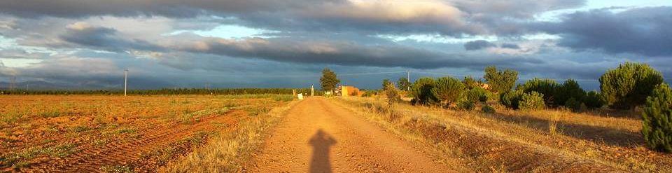
The challenge starts at a non-descript pull-in on the side of the R336 road about four kilometres from Maam Cross, at the Irish Grid Reference: L 964 497 or GPS coordinates N53.488 W9.559.
A route of the challenge can be viewed from the following View Ranger site. A GPX of the route can also be exported and imported into the GPS device of your choice.
A GPX of the route can be viewed and download from View Ranger.
References
1 The Toughest. (2020, Quarterly May). The Summit. Retrieved from https://mountainviews.ie/newsletters/month/2020-05/
2 According to this trip report, https://www.irishtimes.com/life-and-style/travel/walks/walk-for-the-weekend-the-irish-kilimanjaro-1.2933178?mode=amp,